Google Maps aims to keep you safe throughout your vacations. To do this, Google has announced a feature that allows you to check the air quality before departing for your vacation location.
This new function of Google Maps, just released in the United States for Android and iOS devices, may be valuable to some of you. Its primary goal is to assist you in learning about a location’s air quality so you can decide whether or not it’s safe to travel there for outdoor activities.
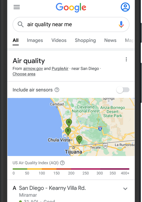
Google Maps will display you the air quality index (AQI) and provide you with recommendations based on it (the option being accessible from the map’s details). For example, the program will notify you if the region is engulfed in unusual pollution.
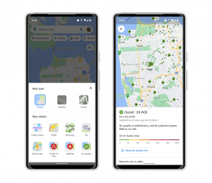
It will also have a feature that allows you to see forest fires in your region in real-time, which have tragically increased in recent years. The Mountain View business claims to have worked extensively with partners specialized in weather and air quality throughout creating these features.
The objective is, of course, to present you with reliable information that will be valuable to you as soon as you need it. However, we don’t know when Google Maps will make these new features available to the rest of the globe, but it shouldn’t be long.